ArcGIS Platform
October 13, 2022 2022-10-14 11:42ArcGIS Platform
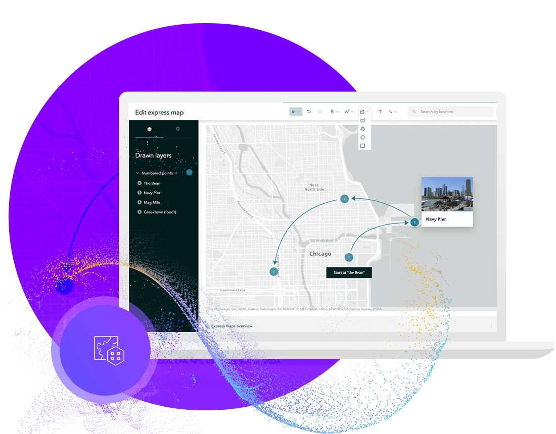
Esri’s ArcGIS Platform brings market-leading location services to you as a platform as a service (PaaS). Integrate location into your apps and business systems with the most comprehensive and high-quality set of location services, data, and mapping tools available. Build with the mapping libraries of your choice or use Esri’s full range of mapping libraries and no-code options that reduce time to market and promote creative design. ArcGIS Platform offers an affordable and flexible location-focused PaaS for software developers, businesses, and organizations that need to bring location innovation into their products, solutions, and systems.
Build to succeed

Location technology trusted by leaders
Premier on-demand location services, maps and data

Build faster with flexible tools

Stay on budget
Build apps with world-class location capabilities
Access a complete set of high-quality location services, maps, and data, available on-demand in a flexible PaaS model. Build with the API of your choice and enrich your apps with powerful location capabilities designed for all developers
Basemaps
Ready-to-use maps serve as the geographic foundation for your apps. Access a global collection of high-quality maps that can be customized to meet your unique needs.
Routing and directions
Find the most efficient routes to your destinations to reduce time and costs. Generate turn-by-turn directions to always stay on-course. Perform advanced network analysis for efficient route planning with a comprehensive set of intelligent tools.
Data hosting
Quickly create services by hosting your data securely with ArcGIS Platform. Host and consume data easily in a variety of formats while retaining full ownership of your data.
Maps and data
Enrich your apps with a vast portfolio of authoritative global maps and data. Add more context with ready-to-use datasets like demographics, psychographic and business data, live feeds such as traffic and weather, places, movement data, and high-quality imagery.
Geocoding and search
Get accurate and reliable search results for addresses, landmarks, and more from all over the world. Elevate your user experience with autosuggest, batch search, reverse geocoding, and many more smart capabilities.
Mapping APIs
Build with the mapping library of your choice. ArcGIS Platform offers a full range of mapping APIs, SDKs, and no-code options that reduce development time and increase creativity. ArcGIS Platform also supports development with popular third-party open-source APIs.
Data visualization
Create beautiful maps and uncover unique patterns and relationships. Integrate rich interactive map visualizations in 2D. Visualize data in its real-world 3D context. Utilize data-driven styling and intelligent defaults that are tailored to your data..
Spatial analytics
Comprehensive industry-leading spatial analytical tools help you solve problems and make informed decisions. These tools work both client-side for interactive user experiences and server-side to help you scale with massive amounts of data.

Create websites and pages
Easily make web pages to showcase your data. No need for coding experience because tailored web pages can be built using a drag-and-drop designer. Share authoritative GIS data and even non-GIS content with other departments in your organization easily.
Share and collaborate
ArcGIS Enterprise lets you control how and when you share. Whether you use an internal site to share maps and analysis or use apps to showcase data on public dashboards, share what matters your way. Distributed collaboration lets you easily connect your data with other organizations.


