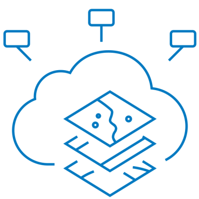
Description
Overview
Learn how ArcGIS supports a complete field data management workflow—from the office to the field, in the field, and back to the office. You will learn best practices to configure and deploy ArcGIS field-productivity apps to meet your data-collection needs. You will have the opportunity to use your own iOS or Android device to complete some course exercises.
Operations Dashboard for ArcGIS
Monitor activities and events, track your field workforce, and assess the status and performance of your daily operations. Create focused executive dashboards that integrate maps, charts, and graphs.
Survey123
Survey123 for ArcGIS is about you allowing your field crew to collect data efficiently in the field and using that information to make better decisions.
One can design surveys, collect data in the field, and migrate that data into ArcGIS Online and ArcGIS desktop.
Workforce for ArcGIS
Maximizing the efficiency of your field workforce is key to a successful mobile strategy. With the introduction of Workforce for ArcGIS now you can plan, monitor, and streamline field to office workflows using the ArcGIS platform.
Navigator for ArcGIS
Navigator for ArcGIS is a mobile app that gets your field workforce where it needs to be, unlocking efficiency and improving reliability. Use the data provided or your own data to search and navigate directly to your organization’s assets. Interact seamlessly with Collector for ArcGIS, Survey123 for ArcGIS, Workforce for ArcGIS, and other apps, and get reliable directions even when disconnected.
Goals
- Create a web app to collect requests and generate work assignments
- Efficiently manage field workforce assignments and monitor field data collection in real time.
- Create and configure a web map for map-based data collection and surveys for form-based data collection.
- Create executive dashboards that integrate maps, lists, charts, and gauges for real-time operation views.
- Create a navigation map that includes custom asset data.
Prerequisite
Related products

$ 450.00